After Meduno, the road descends back to the fertile plain, with a horizon that suddenly opens up to hills and mountains, such as Mount Valinis, known by hang-gliding and paragliding enthusiasts from all over the world. You will be surprised by the dives and gliding manoeuvres similar to those of the birds of prey that inhabit and visit our land: griffons, eagles, hawks, kites, sparrowhawks and buzzards.
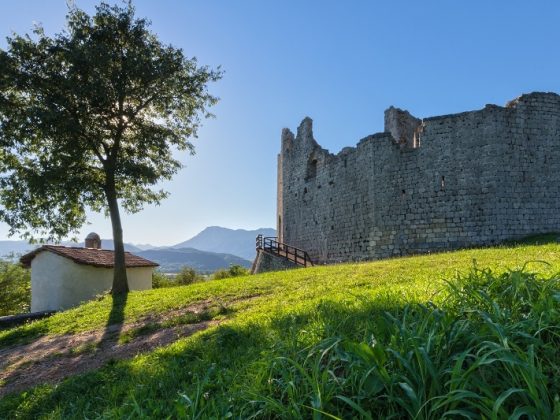
Soon after you will see at the side of the trail the remains of another medieval castle, that of Toppo, one of the most beautiful villages in Italy, whose narrow streets and ancient courtyards hide a wealth of beauty and history.
Before you reach the next village, you can enjoy the view of a group of isolated hills in the plain, which look like stones resting on the hand of a giant.
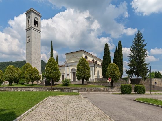
Continue through this peaceful countryside until you reach Travesio, a small village with the relaxed atmosphere of bygone days, where you can visit the parish church of San Pietro Apostolo, with frescoes by Pordenone and sculptures by Pilacorte.
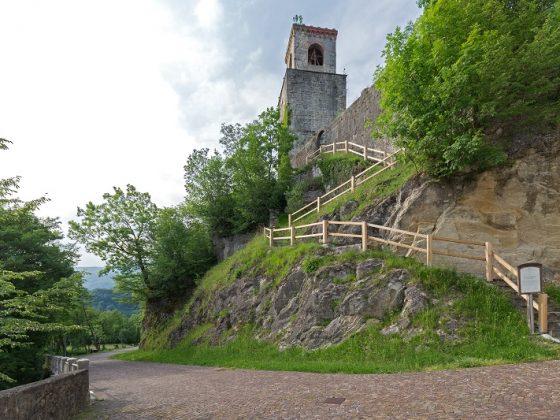
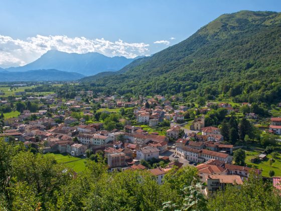
Once you have passed this hamlet and crossed the Cosa stream, which rises in the mountains on your left, and you have crossed gorges visited by spelunkers from all over Europe, the route begins to climb again in the mountain woods to reach Vigna, in Castelnovo del Friuli, the maze-like village with over 30 hamlets. Here you can visit the hill where the remains of another castle can be seen, and stop at the church of San Nicolò to enjoy a panoramic view of the plain you have just crossed and the one that lies ahead.
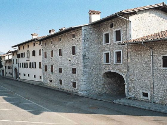
The last stop is the village of Paludea, where you will once again cross the waters of the Cosa.